Promotions to Principal Leadership Roles

Since 1987, Dover, Kohl & Partners Town Planning has been dedicated to creating healthier and more sustainable communities everywhere, a journey made possible through the combined efforts of our exceptional team. We are delighted to announce the promotions of Pamela Stacy King, Kenneth García, and Kristen Thomas, to Principal leadership roles. These individuals, now part of the company’s board of directors, have been entrusted with new responsibilities of guiding the strategic direction of the firm.

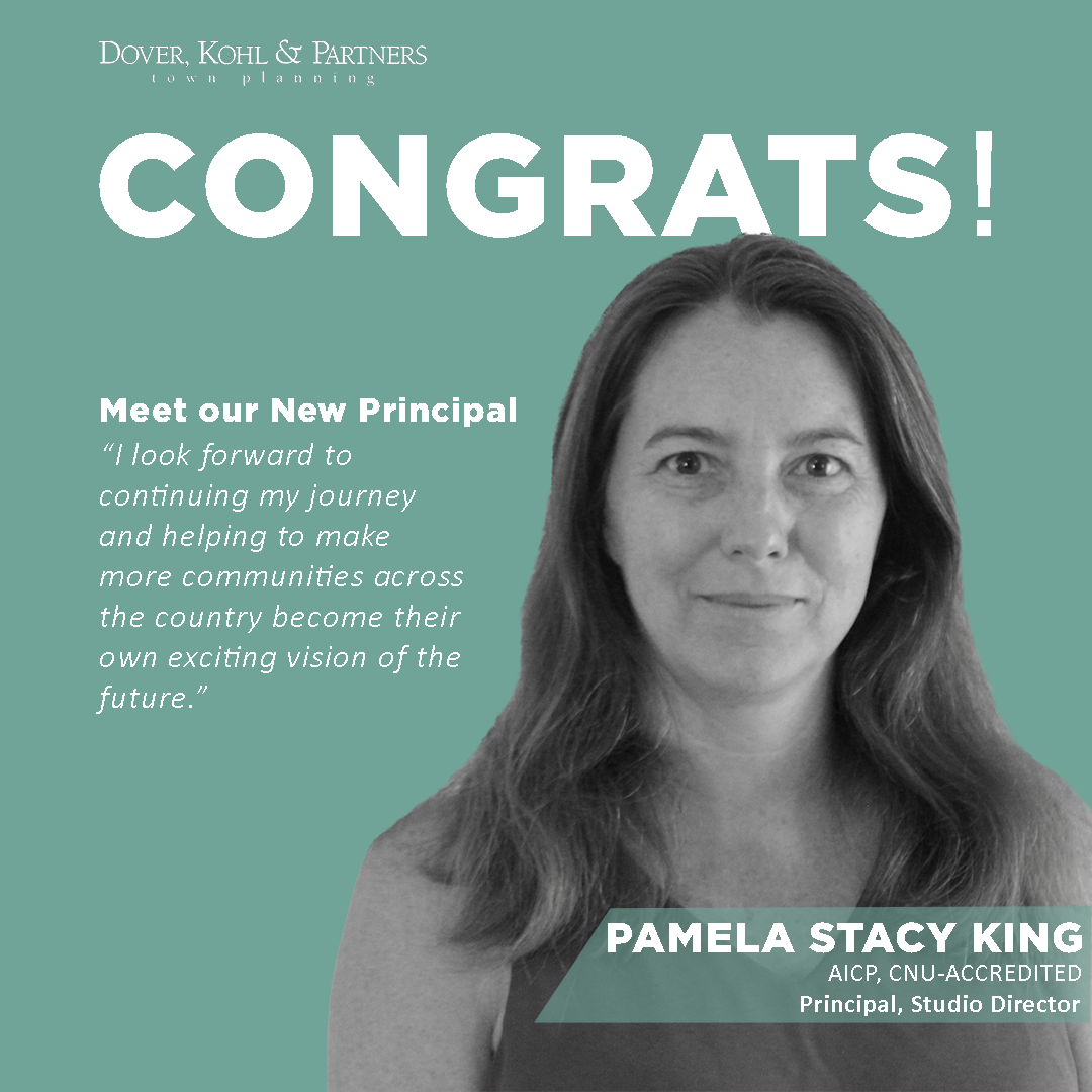
 Pamela Stacy King joined our team as an intern in 2006 and progressed to the role of studio director. Pam is CNU accredited. For the past six years, she has served as Studio Director.  " I look forward to continuing my journey and helping to make more communities across the country become their own exciting vision of the future, " remarked Pamela Stacy King.

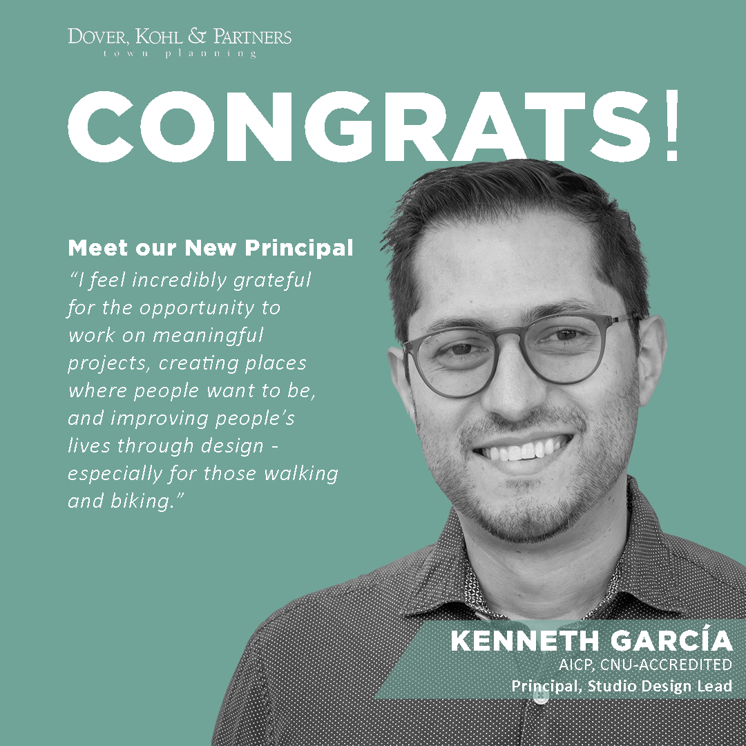
 Kenneth García joined Dover, Kohl & Partners as a town planner in 2007, and has earned accreditation from AICP and CNU. His proficiency in design and visualization combines with his deep knowledge about street design; in 2017 he rose to the role of Studio Design Lead. "I feel incredibly grateful for the opportunity to work on meaningful projects, creating places where people want to be, and improving people's lives through design - especially for those walking and biking," expressed Kenneth García.

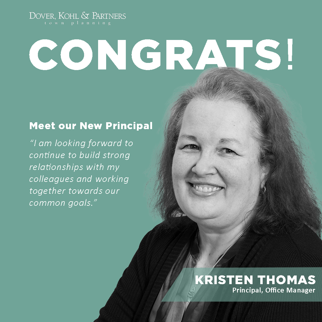
 Since Kristen Thomas first began her journey as Dover-Kohl’s office manager in 1996, her attention to detail has played a pivotal role in the firm.  "I am looking forward to continue to build strong relationships with my colleagues and working together toward our common goals.”

 Please join Dover, Kohl & Partners in congratulating Pam, Kenneth, and Kristen on their well-deserved promotions. Their contributions are integral to the success of our firm, and we look forward to the continued growth and impact they will bring in their new leadership roles.

Experiments: 3D Printing for Urbanism

The DK&P studio has integrated 3D printing into our practice. In this Q&A with our communications intern Hannah Kosoff, Roland Stafford shares his experience crafting a giant study model of the neighborhood surrounding our office. Roland is an architecture student at the University of Miami and an intern at Dover, Kohl & Partners. He sheds light on the 3D printer’s implications when applied at the urban scale. 

The South Miami model is a combination of projects, plans, and urban design ideas for downtown that have been curated since 1992. Leading the effort that resulted in the Hometown Plan and an innovative form-based code. That plan led to the narrowing of roadways Dorn Avenue and Sunset Drive, to reclaim space for walking and dining; these were among the first such “road diets” in Florida.

The 3D buildings are separately movable, so they can be rearranged on the metal blueprint base.  This provides a quick way to understand the public spaces and the private developments that give form to those spaces.

Recognition for Service to America's Parks Movement

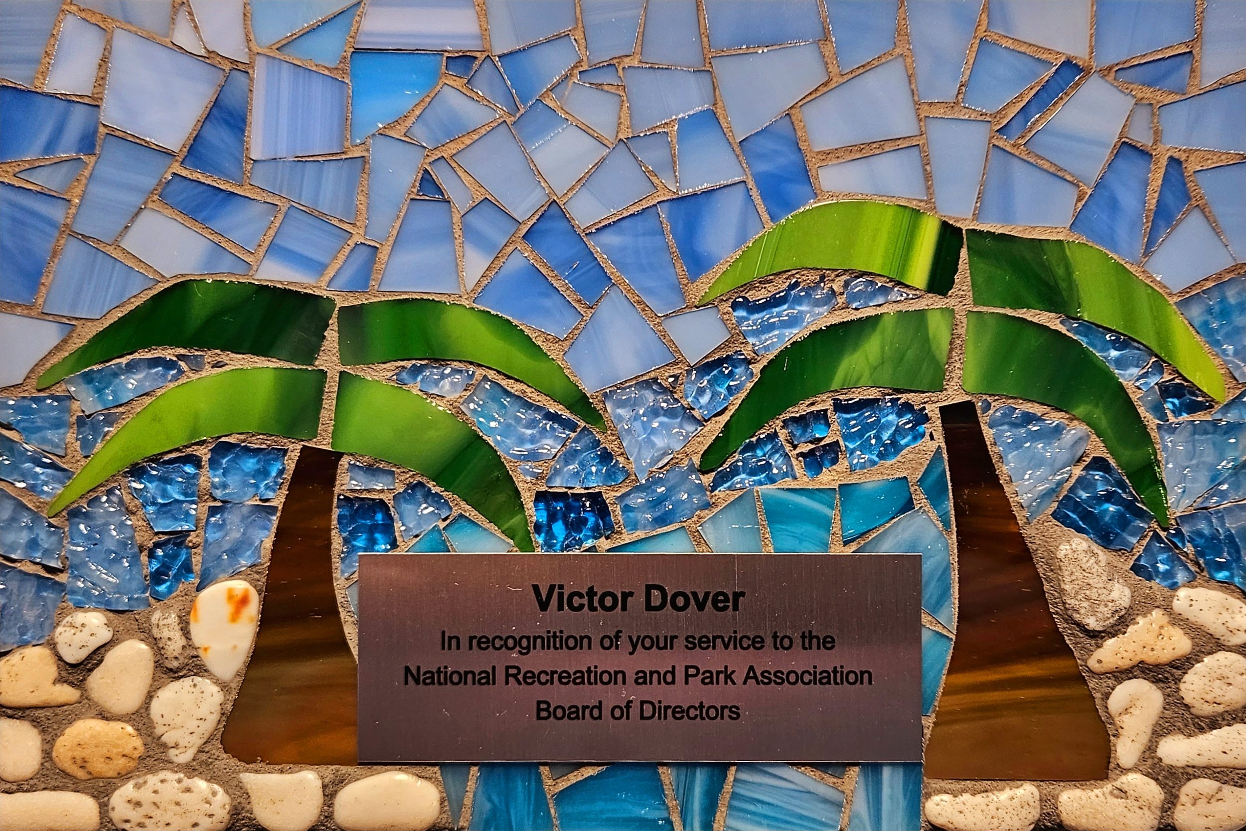
Handmade mosaic plaque presented at NRPA’s national conference, October 2023

“Start with the green parts,” Victor Dover is always telling the DK&P team as they work on plans, whether for a single neighborhood or a whole city. He advocates for reuniting parks planning, city planning and urban design. At the local level, Victor was on the board of the Parks Foundation of Miami-Dade for many years, ultimately serving as its President. This week, he wraps up a key phase of service to the parks movement at the national level as a member of the National Recreation & Parks Association board of directors. With more than 60,000 members, NRPA is the leading not-for-profit organization dedicated to building strong, vibrant and resilient communities through the power of parks and recreation. Victor has most recently led NRPA’s Advocacy Committee, to help champion legislation expanding access to parks nationwide. He’ll continue to serve on the committee, pushing Congress to enact the Outdoors for All act.

Watch this one-minute video about Outdoors for All.

Victor was honored by NRPA yesterday with a handmade, one-of-a-kind mosaic tile plaque. Presenting the plaque, fellow board member Jose Felix Diaz made these remarks:

“When [former NRPA board chair] Jack Kardys first identified Victor Dover for the NRPA board, he knew that he was recruiting a savvy advocate for parks and public space, who knew how to bring together people from all walks of life; elected officials, government agencies, private developers, and civic advocates, to name but a few.

If you have worked with Victor, you know that he always gets the facts, he listens to everyone’s point of view, and he can guide a group to consensus and action plans so skillfully that everyone thinks it was a completely natural process.

By now, we have all seen Victor in action, working to advance parks at every level, through his professional work and through his role at NRPA-- writing op-ed pieces, stepping up to chair the Advocacy Committee, and bringing his full heart, soul and mind to the table every single time.

We, his fellow board members, have benefited from his generosity, his experience, his wise and calm counsel, even his example for those of us willing to follow his lead and cycle a new path or trail, and to create one where none previously existed.

And this might be most important of all. Where other people see a blank wall, Victor creates a door; he is all about seeing possibilities and making possibilities realities.

So even as he leaves the board, we know that he will stay close to the NRPA and we thank him for giving us his door building hardware to carry on!”

To hear Victor Dover speak about the importance of Parks, Greenways and Blueways, watch this short episode of Town Planning Stuff Everyone Needs to Know.

City of Kingston unanimously approves citywide form-based code

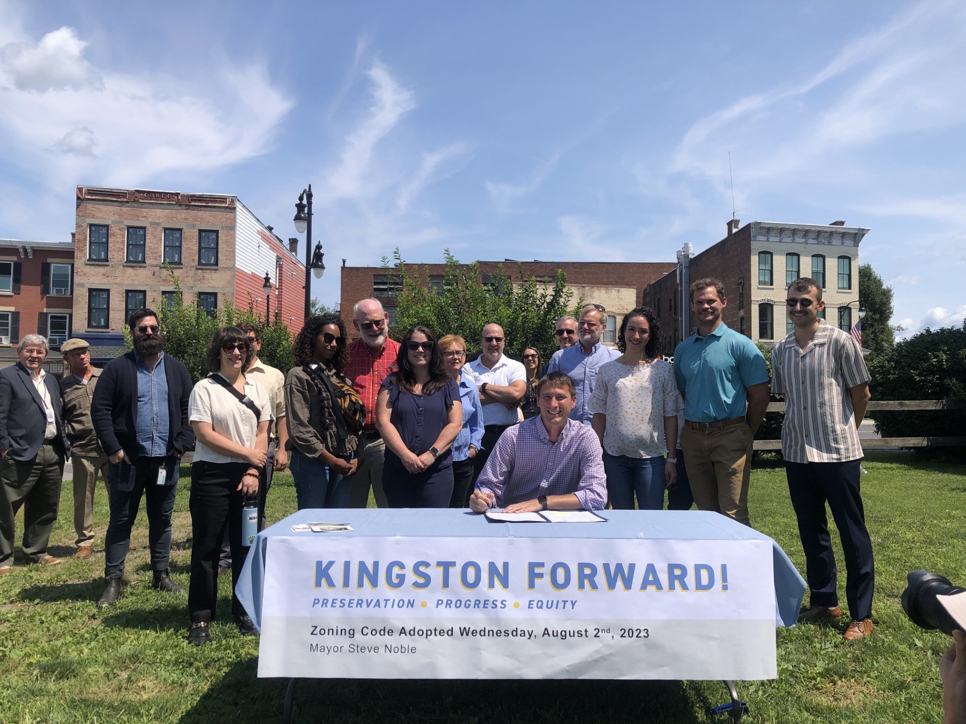
Kingston Forward signing ceremony. Photo credit: City of Kingston

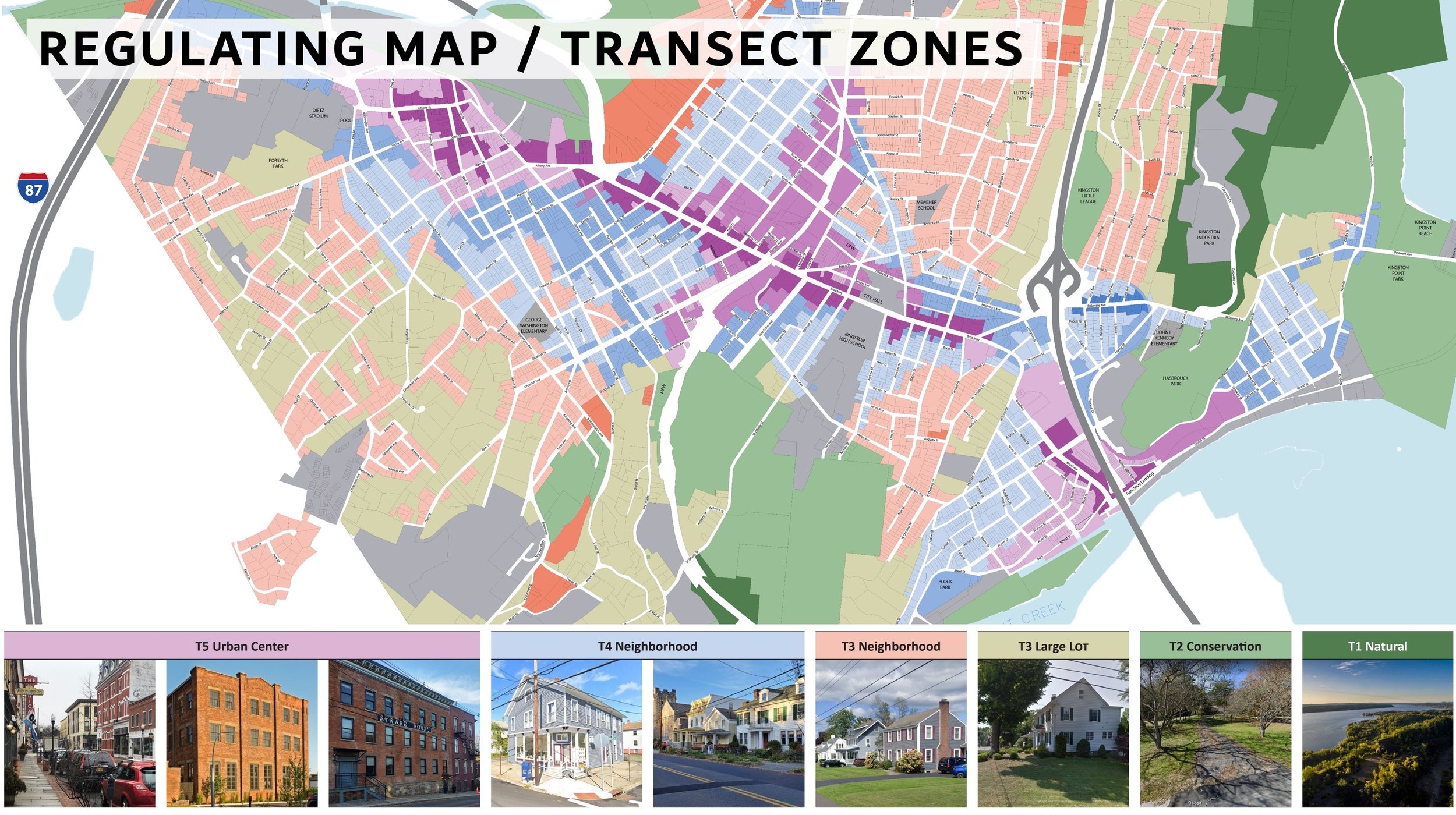
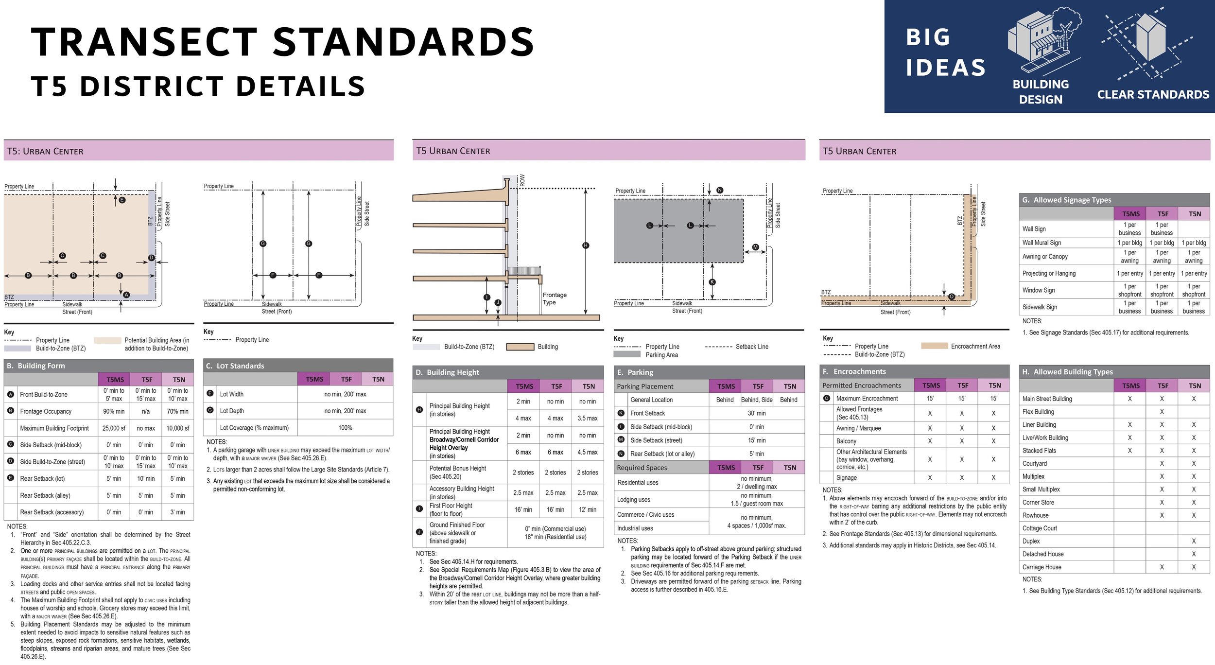
Last July, the City of Kingston, NY declared a housing emergency to help combat housing unaffordability. Last night, Kingston’s Common Council took a definitive step in addressing the limited housing stock by voting 7-0 to approve Kingston Forward, a new, citywide Form-Based Code drafted by Dover, Kohl & Partners to replace its outdated Euclidean zoning ordinance adopted in the 1960’s. The old code applied suburban standards to its treasured historic neighborhoods, paving the way for continued disinvestment in the city’s urban core and the degradation of the community’s naturally-occurring affordable housing stock.

By removing barriers to historic development patterns and building types in the city, the community is able to bring housing back online that may otherwise have been underutilized. Minimum lot sizes, parking requirements, suburban setbacks, etc. were all removed to support neighborhood-scale infill. ADU’s are now allowed citywide, as are “missing middle” building types like duplexes, triplexes, rowhomes, live/work units, and cottage courts. Neighborhood corner stores are now allowed within ¼ mile of almost all Kingston residents. Conserved lands, floodplains, steep slopes and other sensitive habitats are protected in accordance with the Kingston Open Space plan. DK&P is thrilled to see this level of community support behind efforts to increase access to affordable housing, historic preservation, and resilient urbanism.

A simple way to get smiles on the sidewalk

Often, I find myself at lunchtime walking the three blocks from my office to our “urban” Whole Foods to try to eat healthy. [Urban = no parking lots out front, with doors on the sidewalk]. Despite the heat in Miami in July, there was nothing unusual. There were plenty of others walking to or from the same place. But the other day I saw this cactus as I entered the store that was calling my name. I’m not one to buy plants, as anyone who knows me can attest. So I bought it along with food to go.

As I walked back to the office, with my brown paper bag in one hand and the small plant in the other, suddenly I noticed everyone looking at me and then the plant and then back at me with a smile, both men and women, sometimes with a big smile and sometimes a grin. At first, I felt really uncomfortable, but after the first block I was okay with it. It made me feel good seeing people who normally don’t smile doing so while walking in their daily routine. Go give it a try and see what response you get. If this simple plant generated that many smiles, next time I will try a bouquet!

—Joe Kohl

Olmsted Network shines national spotlight on "Lake Wales Envisioned"

Last year, Lake Wales scored two headlines on the same day: One lauded LW for reconnecting to its Olmsted roots (for the #LakeWalesConnected downtown plan). The other screamed that "one of the most imperiled Olmsted legacy landscapes faces new threats" (from ill-conceived sprawl). The followup #LakeWalesEnvisioned initiative is about getting the city’s big picture for future growth (and its form) back on track. Yesterday, I got to introduce #LakeWalesEnvisioned to the national audience of the Olmsted Network as part of their "Conversations with Olmsted" series! My short presentation begins at about 9:00 min in the video. —Victor

DK&P presents Lake Wales a vision for the future

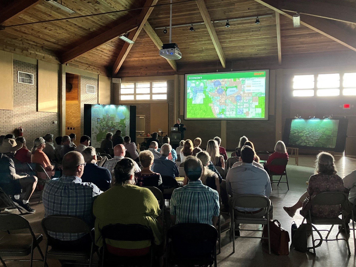
Last week, Lake Wales, FL residents heard a compelling call to action on the community’s future. Lake Wales Envisioned is a momentous effort aimed at curbing sprawl along the rapidly developing Lake Wales Ridge in central Florida due to a collapsing citrus industry and continued development pressures. Warch the recording of the presentation:

Recording of the Community Update presentation

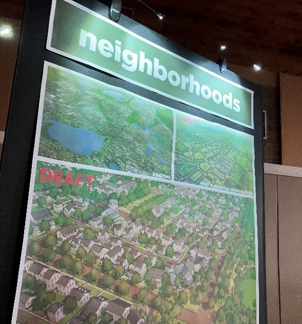
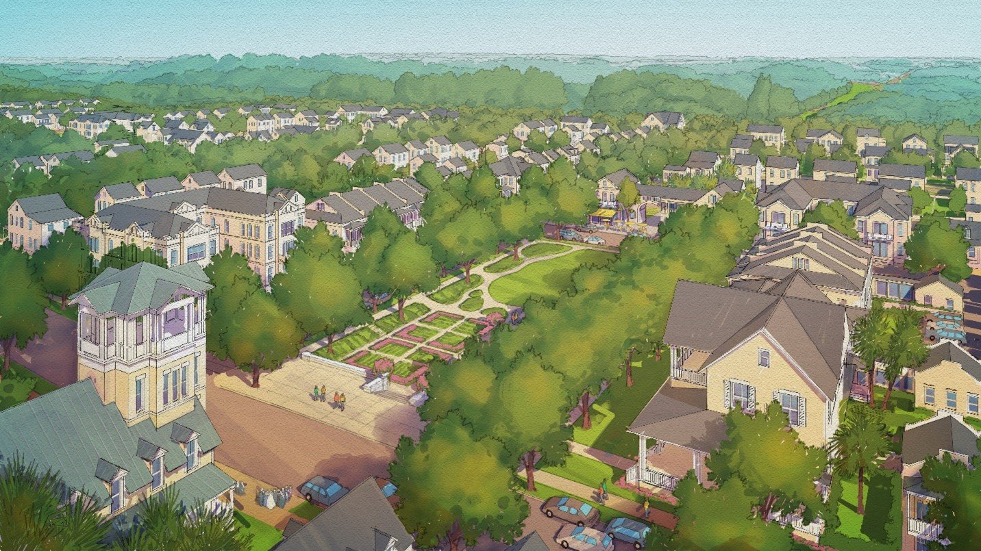
Residents were presented with an alternative vision for this special place; a vision that turned a very possible near future of endless cul-de-sacs, cars, garages, and asphalt into a lovable landscape of over 25,000 acres of newly proposed conservation lands, parks and open space, greenways, trails and community gardens interspersed with walkable neighborhoods connected to one another where residents have a chance to build relationships and live fulfilled lives.

The famous Olmsted Brothers planning firm advanced improvement plans for Lake Wales and nearby Bok Tower Gardens, and created a “city in a garden” for the enjoyment of future generations. Now is the time to make a determined effort to save the Lake Wales Ridge from rampant sprawl.

A variety of local, state, and national partners are supporting the City in this effort, underscoring the importance of the Lake Wales Envisioned plan to the city and region. Learn more at lakewalesenvisioned.com.

Victor Dover to Vero Beach: "You can have the town you want"

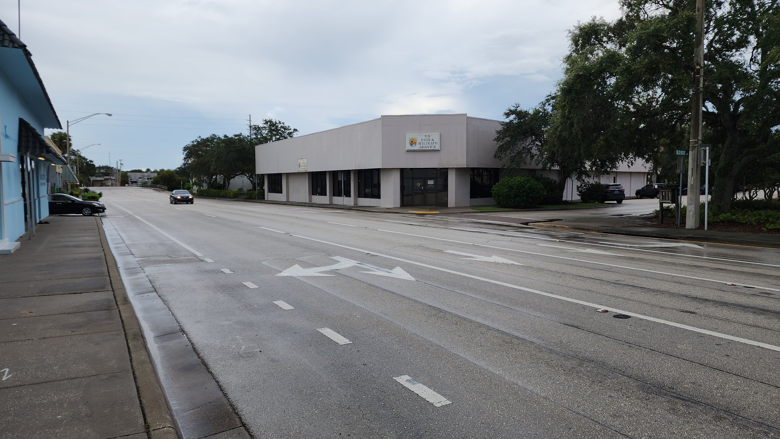
In the off-peak times, all that extra asphalt is a clear invitation to drive faster

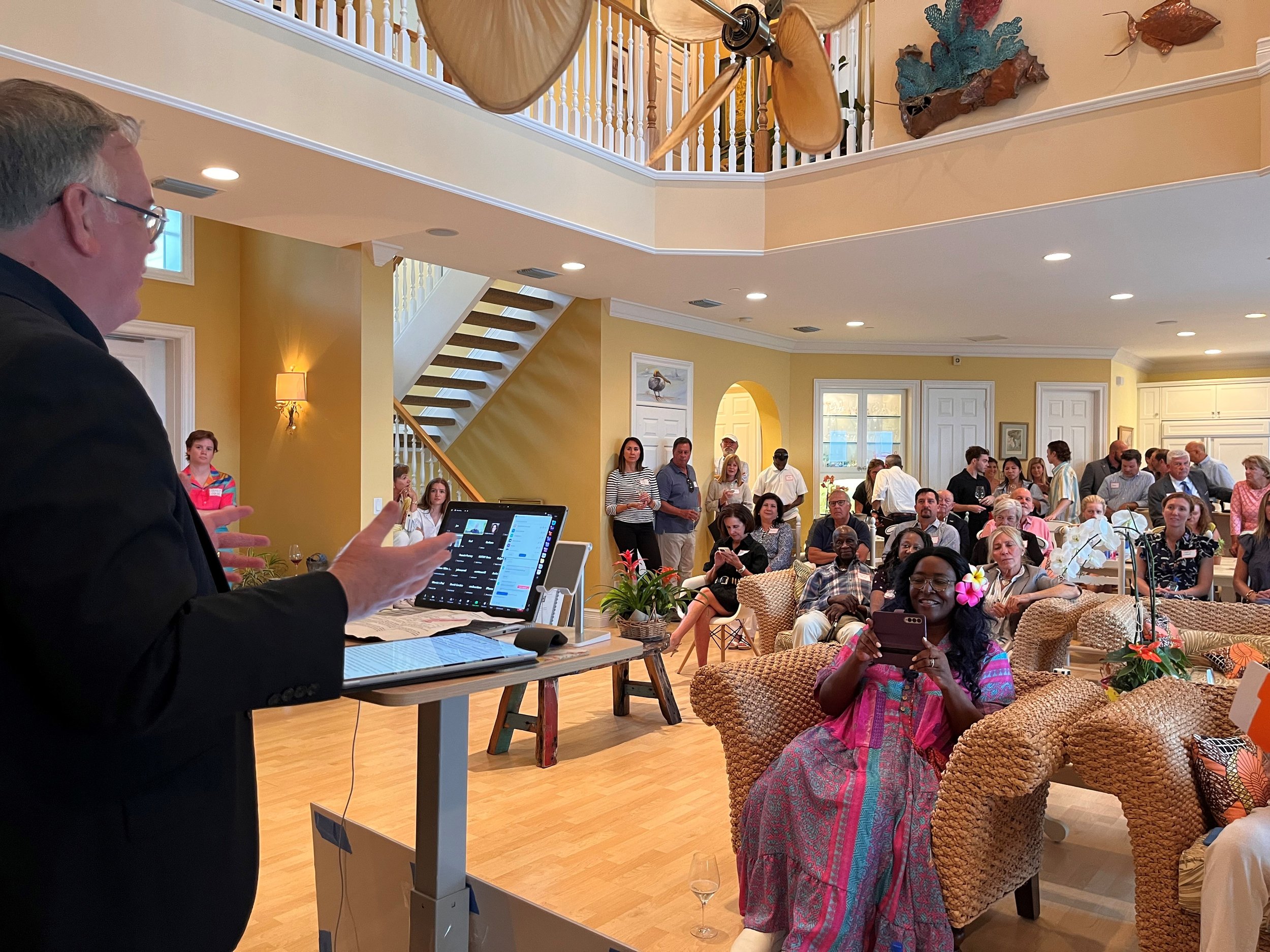
On July 19, 2023, Victor Dover addressed 200 Vero Beach citizens in person and online as part of the “Let’s Talk Vero” events series. The City of Vero Beach and Florida DOT are considering what to do about its notorious “Twin Pairs” combo of wide, fast, one-way roads. Here are Victor’s remarks:

BIG PICTURE: YOU CAN HAVE A BETTER AND BETTER TOWN

Thank you for having us in Vero Beach. I always say, we have the best job in the whole world, traveling and helping communities decide what they want to be when they grow up, grappling with growth and change amid a changing world. It is gratifying work.

Like Vero, most communities have a confidence problem: Is the change making things better or worse?

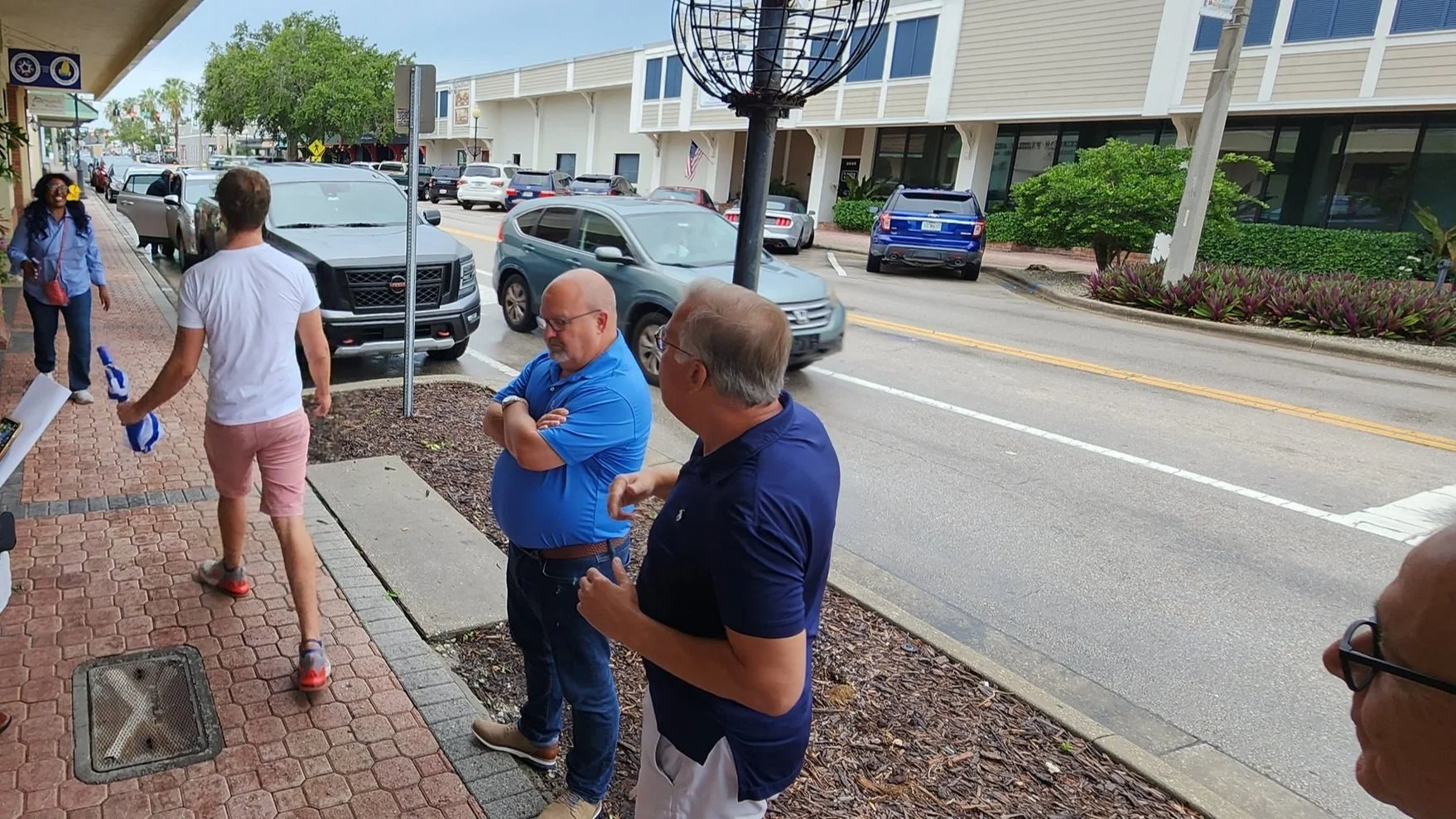
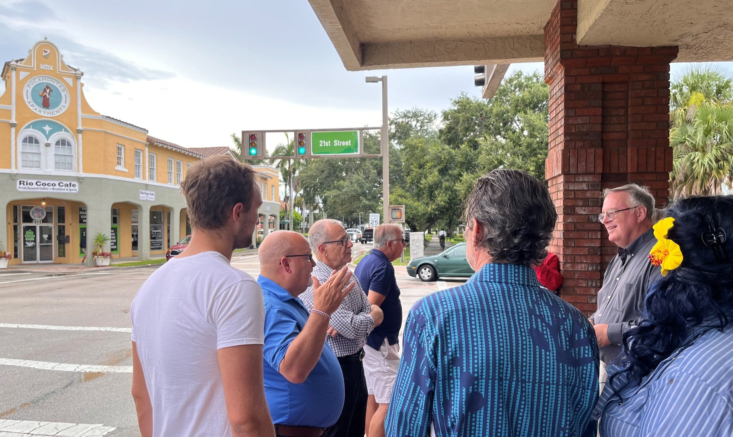
Walking tour with Vero Beach citizens in advance of the Let’s Talk Vero event

Think of the places you’ve visited that you loved. How did they get that way? They were designed (and redesigned) that way. Great towns don’t occur by accident, or come from Santa Claus or the Easter Bunny. They come from putting in the work, building consensus, drawing lines on maps, trying things, doing more of what works, adjusting what needs adjusting…  Cities are great, collectively produced, collaborative, never-finished works of art.

Good news: You can have the town you want, if you’ll give yourselves permission to have it and work together to get it. In particular, it stands out that your most important shared spaces in the center of town—the downtown neighborhood, the twin pair corridors—are not yet evolved to the quality and vibrance that reflects your mostly-beautiful, affluent, well-educated, well-traveled community… at least not yet.

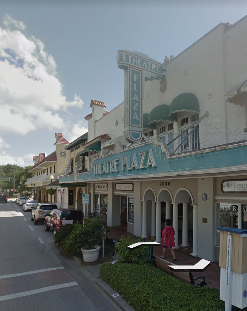
Google street view shows that Vero’s pioneers used unapologetically urban, street-oriented architecture, conveying their confidence in the future.

I look at the historic buildings and I can see that your founding families and early visionaries were convinced of this potential. From the days when the streets were just dirt or just had Model Ts rambling along them, those early mixed-use, Main Street buildings had this confident, upright architecture and a clear building-to-street relationship.

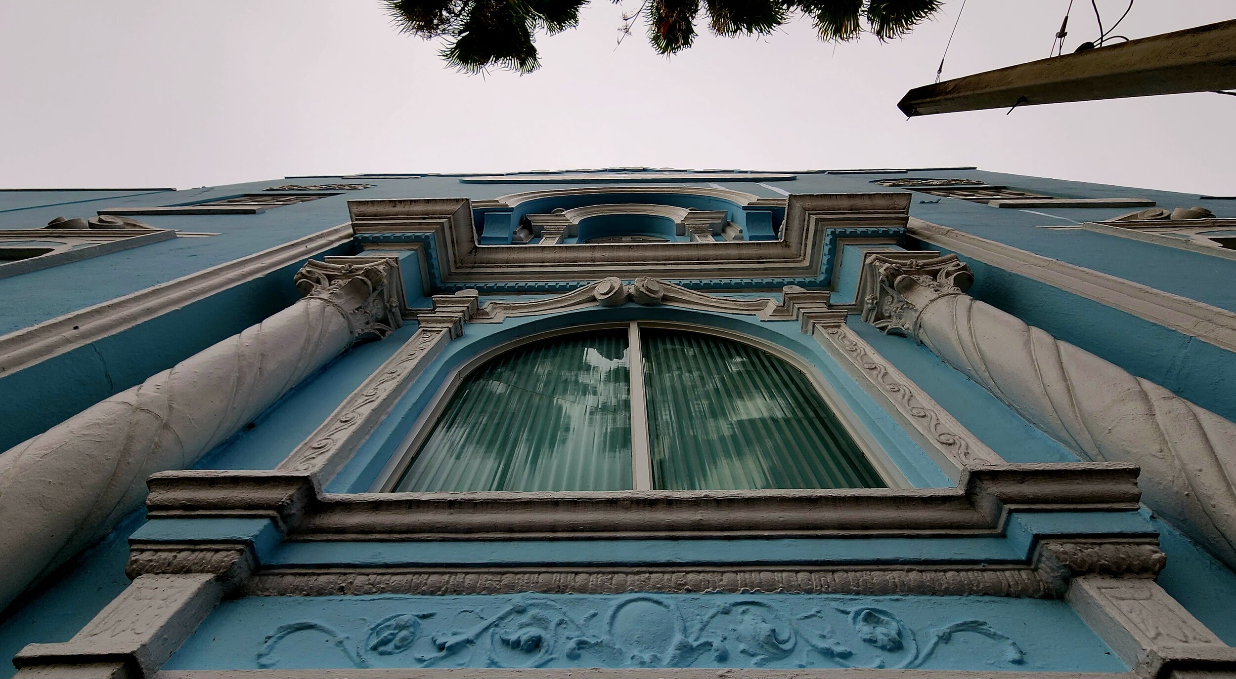
When in Vero Beach, look up: The early architecture was meant to shape a proud human habitat. It was meant to be experienced at walking pace.

I’ve learned you’re undertaking a downtown revitalization plan, and that is great to hear. It’s not necessary to figure out absolutely everything in advance, and it will not be a tool that has to boast 100% consensus to be useful. But it will be a great aid in building confidence. Where do great places come from? They come from you. They come from starter conversations like the ones you’re having in Let’s Talk Vero.


Blight is an often inevitable— but usually reversible— effect of America’s binge of road-widening and traffic-accelerating.

STREETS MATTER

Now, let me ask you: What’s the largest thing you own? Your city’s streets.

The subtitle of the book John Massengale and I wrote about Street Design is, “the secret to great cities and towns.” I became convinced that good street design is probably the one feature a city can least afford to get wrong, and yet it is the feature most often gotten wrong.

Tour group in downtown Vero Beach

It’s basically this: Streets are where we form our most lasting impressions of a place. It’s not just the buildings, although those matter a lot; it’s the spaces between buildings, like the parks and squares and streets (and especially the streets) that are the public rooms of the city. In Vero, your streets are your commons. Owned by everybody. Or perhaps nobody. I don’t mean to be too harsh, but in some of those streets one can see the Tragedy of the Commons playing out. They aren’t conveying the kind of confidence such corridors can and should convey.

I urge you: Don’t take the attitude that the streets are someone else’s problem. They are not just “transportation facilities.” They’re addresses.

When they work as they should-- at least in the part of the city where you care about economic vitality, about property value, about eight year olds, about eighty year olds, about small and large businesses, about public health and safety, and about environmental fitness—which is to say, every part of a beloved city—the streets should be designed as human habitats, places where people want to be.

Some of the things that need to be there include street trees, low-stress spaces for walking and biking, and good building-to-street relationships. You don’t have to be a wildlife biologist to size up these habitats-for-cars. You don’t have to be an anthropologist or sociologist to know that our species is repelled from places that have blank walls facing streets or have high-speed motoring with all its noise and violence, but we’re attracted to places with shade and artfulness and visual interest and, importantly, evidence that other people are around.

THE NEIGHBORHOOD PLAN

The great thing about coordinating your efforts on street design within a larger core-area master plan is that, since everything is connected to everything else, you can make informed decisions. As we walked yesterday I asked: What are this neighborhood’s basic economic and humanistic reasons for being? These change over time. Fort Pierce was once the place the cattle drives brought protein to market, to load on the barges. Now it’s evolving to 21st Century uses. Vero has been a citrus town, which is of course changing, and a holiday town for visitors and seasonal residents. Within that evolving mix, what’s going to be the core area’s root function?

I think as you ponder that, the street design decisions, the architecture decisions, the zoning decisions will all then become much easier. You might want to open up the options for more housing and more lodging in the core area, to bring more customers within walking distance of that great coffee shop, for instance, so it’ll have the customers it needs to be there when you, as a local fulltime resident, want to go there.

NEW TIMES, NEW RULEBOOKS

Last, I want to talk about something new, something you all need to know when working with your friendly neighborhood FDOT (Florida Department of Transportation). It’s this: the rules have changed. Over decades, it always seemed like the DOT was always saying NO to the things local government leaders wanted, like safer streets and saner, right-sized, appropriate-speed streets. They would say, Madam Councilmember or Mister Mayor, we can’t do that, our one-size-fits-all rulebook doesn’t allow it.

First: Think back to the Happy Motoring era, the 1950s or 1960s, when many of us were born, and we didn’t know it but in those postwar years we were living in the last phase of the Golden Age of the Automobile. There was this forceful, national, propaganda-fed idea that “wider, faster roads [were] better roads.” That plugged into everything: budgets, manuals, high-octane federal subsidies; that was the era of “what’s good for General Motors is good for America” and it was a public works juggernaut. Traffic flow was… everything. Many other community ideals—like safety and strong property values, to name a couple—were de-prioritized. And you can understand it; who wouldn’t want to flow? Road widening, highway-building, and rebuilding, and re-re-building was the order of the day, and the motoring public was okay with huge amounts of the national treasury being spent on it. Old gasoline ads said, “Drive more, it gets cheaper by the mile.”

The innovations like cloverleaf interchanges and the fads, like one-way pairs, came fast. Yours is not the only town that got the one-way-pairs-and-road-widening treatment. It was seen as a way to squeeze a little more flow out of the intersections during the peak seconds of the peak hour. And, it seemed like a good way to spend all that federal money raining down on the states, even if we didn’t really have the traffic numbers to justify such wide streets “yet.” (You still don’t.)

Ironically, speeding everything up was exactly the opposite of making it safer and more efficient.

These roads became less safe and less hospitable because, outside the peak hour, all that extra asphalt provides a clear invitation to higher speeds. Remember, humans tend not to drive the posted speed, but rather the speed that feels comfortable given all the visual clues coming into your eyeballs through the windshield—and so if it looks like the Indianapolis Speedway, we drive as if we’re on the Indianapolis Speedway.

In turned out that in many cases the one-way pairs were undercutting their own on-paper efficiency, too, because if you have to drive twice as far and go out of your way and drive through five or six intersections instead of two, you’re doubling up the vehicle-miles-traveled per person and, while you’re getting turned around to get to your destination, you’re in my lane, when I’m in such a hurry, for whatever reason. You’re messing with my flow! No happy motoring for me.

Note: Fads fade, and many towns have been gradually undoing their one-way pairs and repurposing unneeded lanes, rebalancing flow against the whole range of other issues.

Now, back to the manuals.

The many consequences of the road-building binge include a terrible safety record, especially in the relatively new settlements of the Sunbelt. The biannual report, called Dangerous by Design, shows Florida every time as the champion state… at killing pedestrians. And of course, it’s not just people walking and biking getting killed, it’s the victims of car-on-car violence as well. We’re at the point where we’re killing 40,000 persons a year in our mean streets, and it’s a major public safety crisis. A leading cause of death among those under 25, for one thing. And where are more of those deaths and injuries occurring than anywhere else? Florida.

So a few years ago, embarrassed by the latest headlines on Dangerous by Design, the state Secretary of Transportation said, let’s fix it. He challenged his department to find a way out of the number one Death Machine status. He ordered the FDOT to rework all its rulebooks--  and they’ve done it. More info here. ­­­­­­­­­­­­­­­­­­

They now have permission to say yes to things they used to dismiss, like safer design speeds and better lane geometries and all the features that aid safety. So remember this: You can get familiar with the new rules, and bring the District 4 FDOT engineers along with you on your search for better street designs. That way when they come around to do their resurfacing projects every 25 years or so, you can work with them to settle on designs that aren’t just resurfacings but meaningful redesigns.

The new rulebooks can be your superpower. For the nerds like me who might want to Google this and get into the tech of it all, search for FDOT FDM (Florida Design Manual) and “context classifications.” To make a long story short, it means, they no longer have to follow one-size-fits-all--  so they don’t have to treat a core downtown like it’s out in the distant sprawl strip or I-95.

I’ll conclude with one important admonition:

You need to do your best to arrive at local consensus first, and then re-engage FDOT. The Districts have been burned before, moving forward on the road diets and lane repurposings that the manuals now allow and even encourage, only to have the local folks reverse themselves and back out. So have some sympathy for your DOT officials, and have the conversation now.

Just having the conversation will bend the trend! So congratulations on what you’re doing with Let’s Talk Vero.

Missoula awarded $25 Million Grant for Downtown Missoula Plan Projects

The City of Missoula was awarded a $25M RAISE Grant for safety, access, and mobility projects recommended by the Downtown Missoula Plan co-authored by Dover, Kohl & Partners.

“This is a huge accomplishment for both Missoula and Dover, Kohl & Partners!” said Linda K. McCarthy, Executive Director of the Downtown Missoula Partnership.

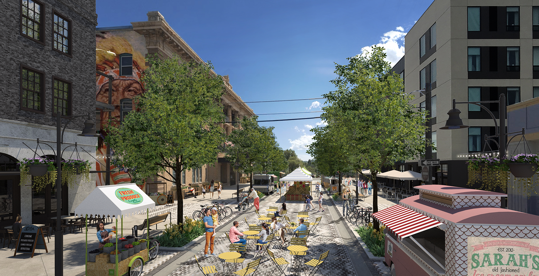
The funding for infrastructure projects will allow Missoula to adapt its downtown area to fit the changing needs of the community. On the Higgins Avenue corridor, a four- to three-lane conversion will separate bicyclists and motor vehicles. Front and Main Streets will be changed to two-way streets to address safety and circulation issues in the downtown area. The project will fund riverfront trail access from Front and Main and widen the trail. Additionally, an ADA ramp will increase accessibility from the Higgins Bridge to Caras Park.